I’m Interested…

Cariboo Chilcotin Region

The Cariboo Chilcotin Coast, a vast, sparsely populated region in central British Columbia, encompasses three distinct landscapes:  the forests,  river canyons, and ranch lands of the Cariboo to the east; the jagged peaks and high plateau of the Chilcotin, moving west; and the fjords and islands of the Coast, a road-less wilderness accessible primarily by sea or air. Together they form one of BC’s least travelled, but most storied, regions.

The Cariboo Chilcotin Coast was, and is, a land of adventurers. The Cariboo Gold Rush of the 1860s drew thousands of prospectors here and the region is still rich in Gold Rush history. Highway 97, the Cariboo Highway, follows the path of the Cariboo Wagon Road, completed in 1864 to help prospectors reach the gold fields. Many towns en route, including 70 Mile House and 100 Mile House, are named for their distance along the original road.

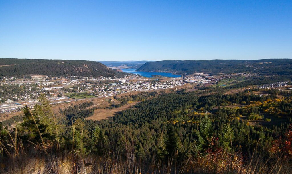
Many prospectors were headed for Barkerville, where a miner named Billy Barker struck it rich in 1862. Barkerville Historic Town, 85 kilometres east of Quesnel, is now a National Historic Site and the largest heritage site in western North America, boasting more than a hundred restored heritage buildings, musical theatre shows, stagecoach rides, and actors interpreting actual citizens of 1860s Barkerville.

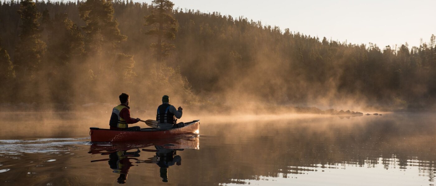
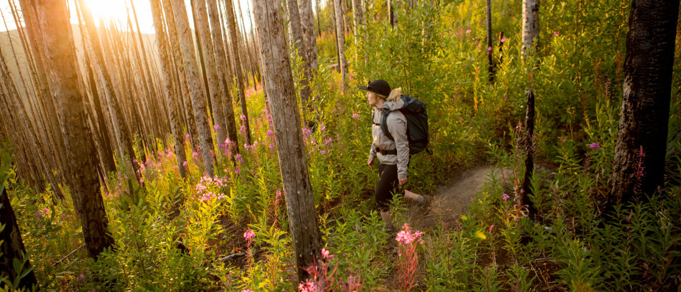
Nearby is the 1930s-era village of Wells, full of brightly painted false-fronted shops, many selling local arts and crafts. Here, you’ll find several art galleries, the Sunset Theatre, and the annual ArtsWells Festival. Also in the area is Bowron Lake Provincial Park, with its famed 116-kilometre canoe circuit.

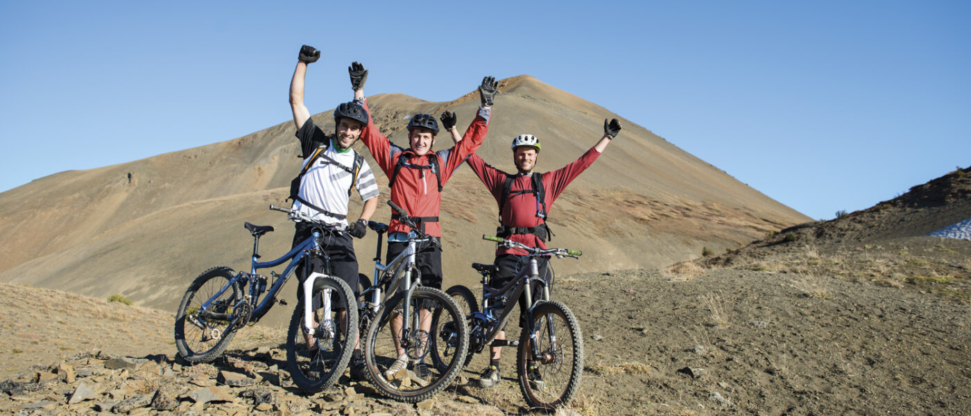
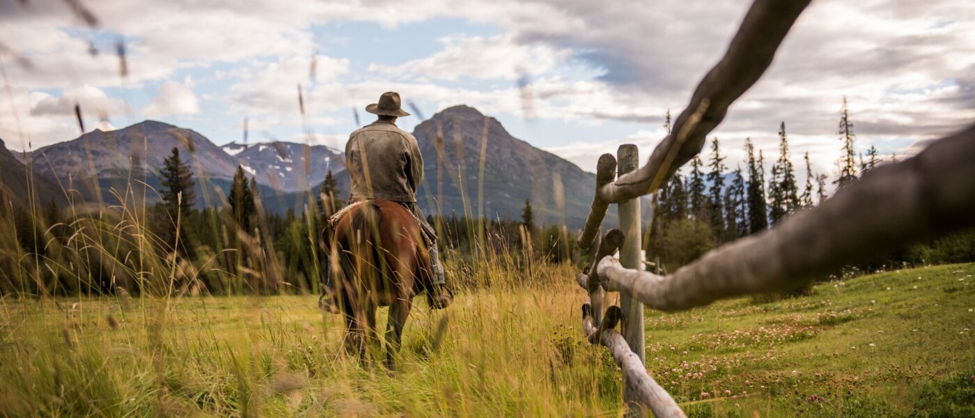
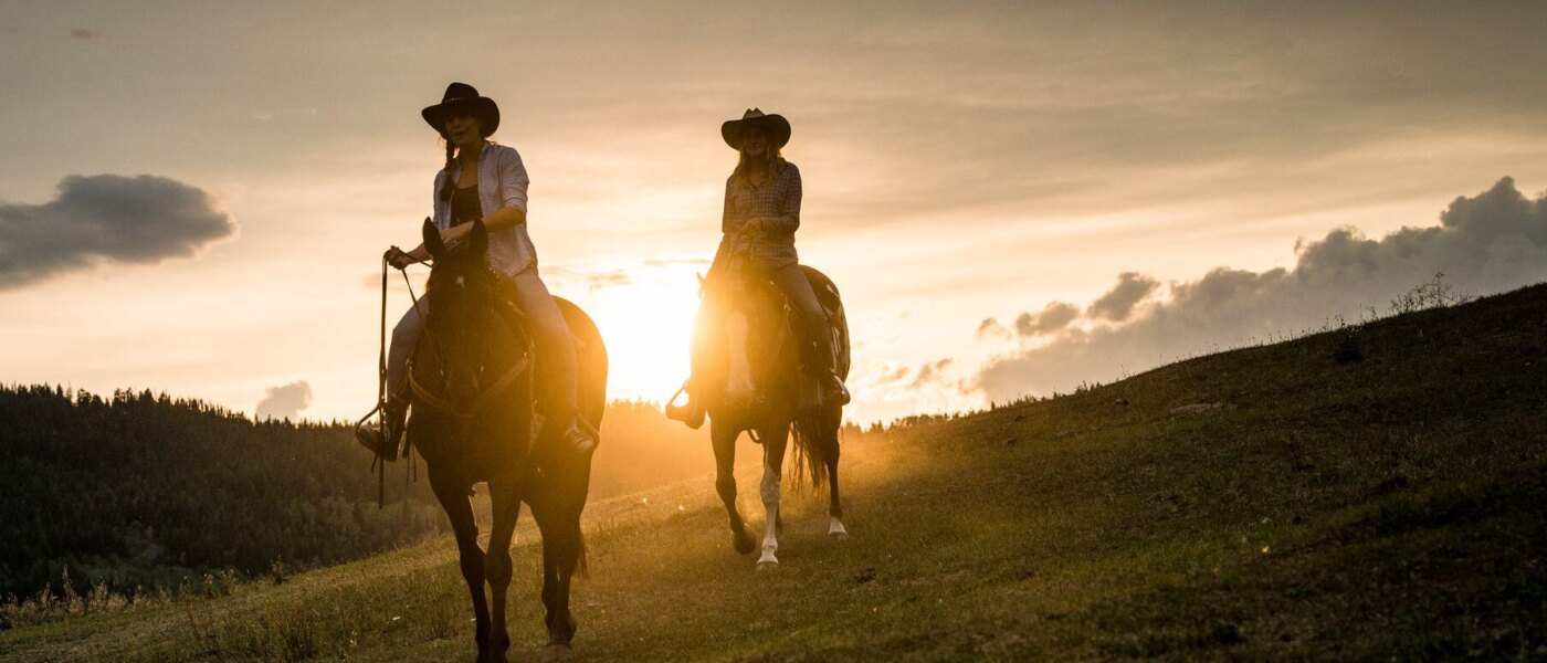
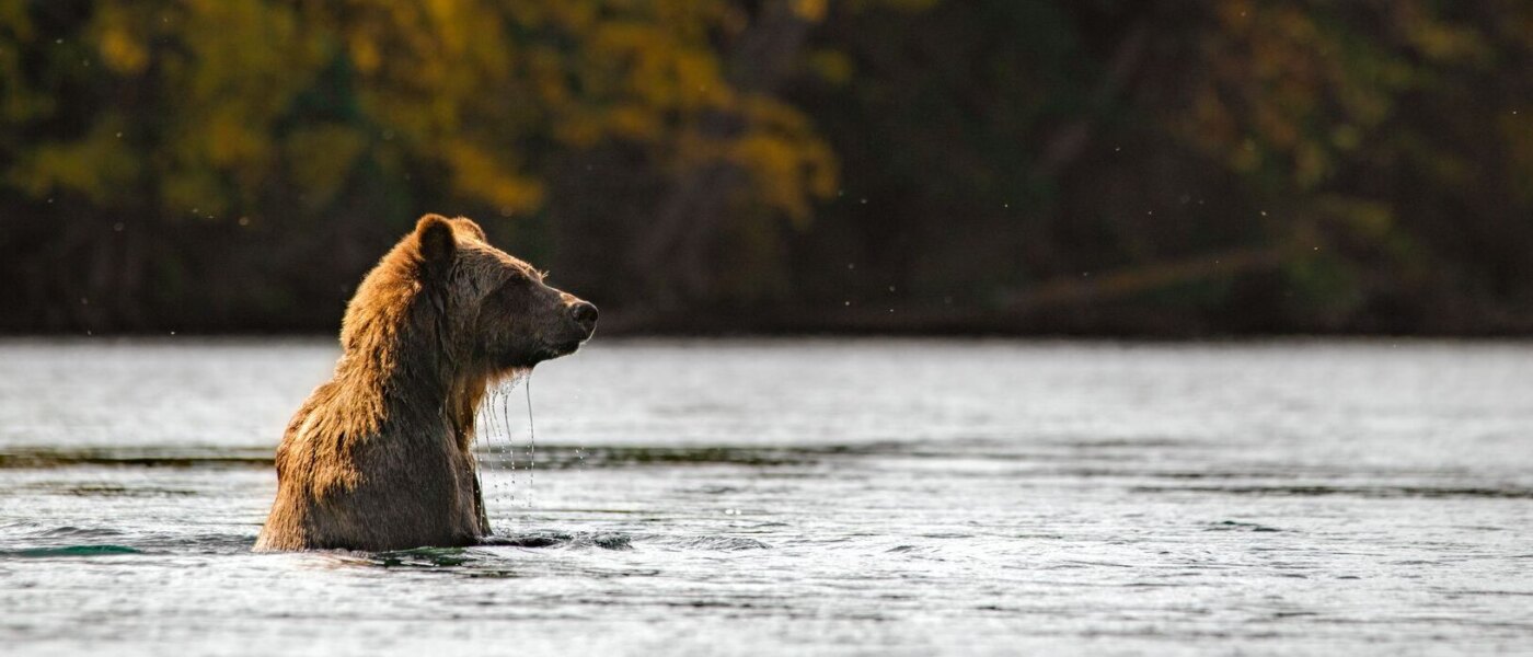
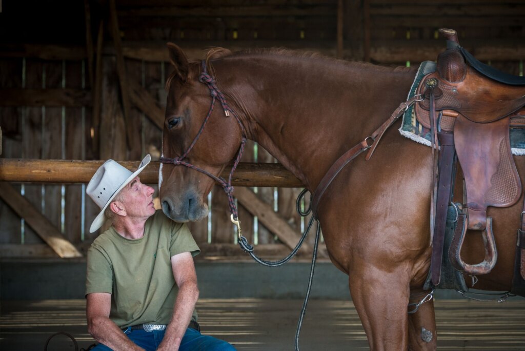
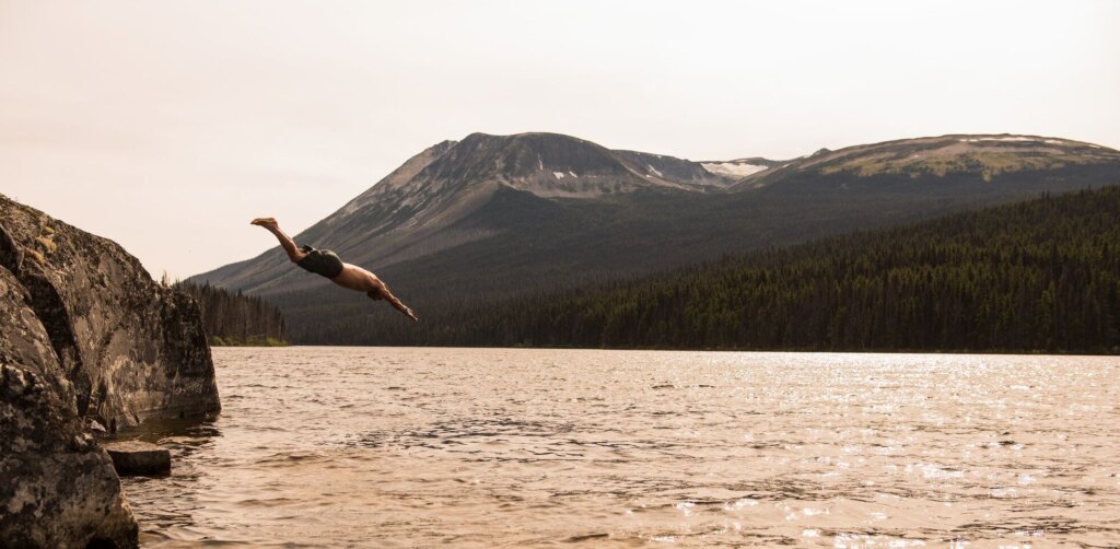
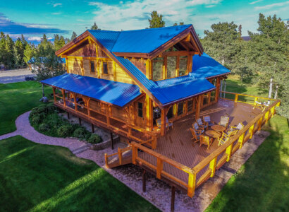
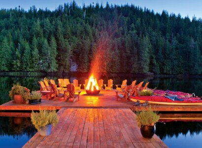
The Cariboo is also cowboy country, where guest ranches, from the rugged to the luxurious, welcome city slickers; you might also catch a rodeo while you’re here. Going fishing? Try one of the 100-plus lakes along Highway 24, known as the Fishing Highway.

The Chilcotin starts west of Williams Lake, where the Cariboo Highway meets Highway 20, and the Freedom Road leads to  the  Coast. This route through some of BC’s deepest wilderness won its name in the 1950s, after determined local residents completed the road themselves. Today, it’s one of BC’s more adventurous drives, cutting through the Coast Mountains and crossing Tweedsmuir Provincial Park, the  province’s biggest park. Just past Hagensborg, a hamlet settled by Norwegian homesteaders in 1893, the road meets the sea at Bella Coola, a fishing town at the  head of Burke Channel. From  here, BC Ferries vessels sail among the fjords and islands of BC’s mid coast to Port Hardy on Vancouver Island.

Williams Lake

Set in the heart of the Frontier, amid lakes and rolling ranchland, Williams Lake has been the focal point and service centre for the ranches of the Cariboo and Chilcotin regions since the turn of the century. Williams Lake is  a mountain biking mecca, with three dedicated areas: Westsyde Ridge, Dessous Mountain and Fox Mountain being major attractions. With all three featuring tracks ranging from double-track beginner to epic cross-country and steep, gnarly down-hills, there is something for all levels of rider.

Williams Lake also boasts excellent wildlife-viewing opportunities. Birders make a beeline for Scout Island, a nature sanctuary at the west end of the lake. In addition to a beach area, nature house, picnic ground, and boat launch, this nature sanctuary for birds and small wildlife is laced with trails. Enjoy a walk downtown among quaint shops, retail shops, and art galleries, some featuring local art and First Nations gifts. A variety of restaurants are found on nearly every side street. The city boasts three golf courses, the B.C. Cowboy Hall of Fame, and the very popular River Valley Trail, spanning 7.5 miles from downtown to the Fraser River.

Suggested Itineraries

How Can We Help?

  • North America Travel Service
  • The Kennedy Building,
    48 Victoria Road,
    Leeds, LS11 5AF
  • GET DIRECTIONS
Join our newsletter

Get updates on the latest offers, news, events and more.