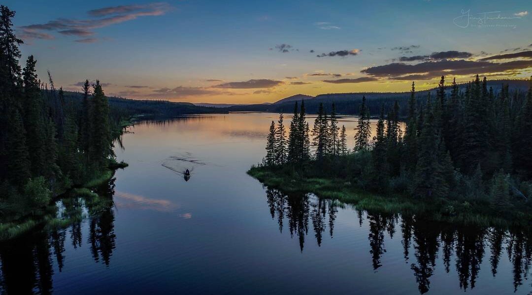
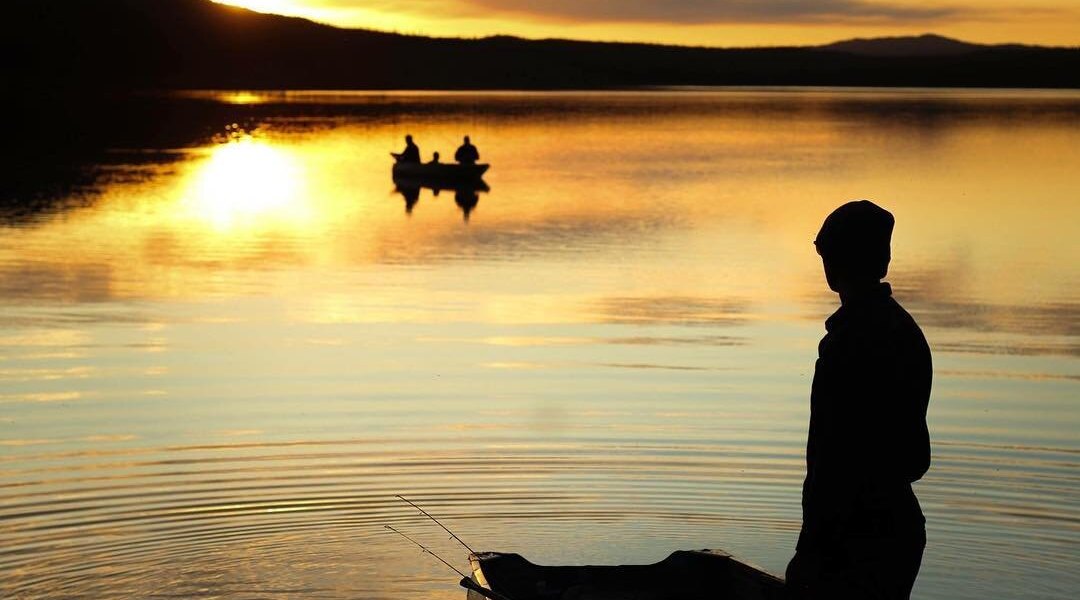
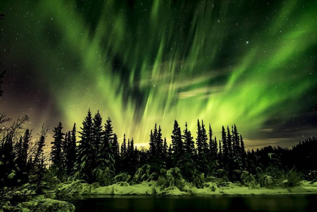
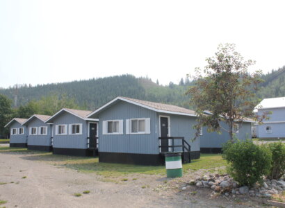
I’m Interested…

Carmacks And Mayo

Mayo and Keno City are located in the Silver Trail region of Yukon. Officially Highway 11, the more colourful name of the “Silver Trail” is a nod to the area’s silver mining boom—a lesser-known era than the Klondike gold rush, perhaps due to its lack of dancehall girls. Winding from the Stewart River Bridge through the Traditional Territory of the Na-Cho Nyäk Dun First Nation, the paved road ends at Mayo and is unpaved past Elsa and Keno.

Just barely topping 500 year-round residents, this region is largely undeveloped, so there’s plenty of elbow room. Enjoy a tucked-away arts scene, tune into marmots whistling about your arrival, paddle a historic river or log some miles on your mountain bike. Just be sure to give the right of way to any majestic moose or impressive mammals that may cross your path.

Mayo

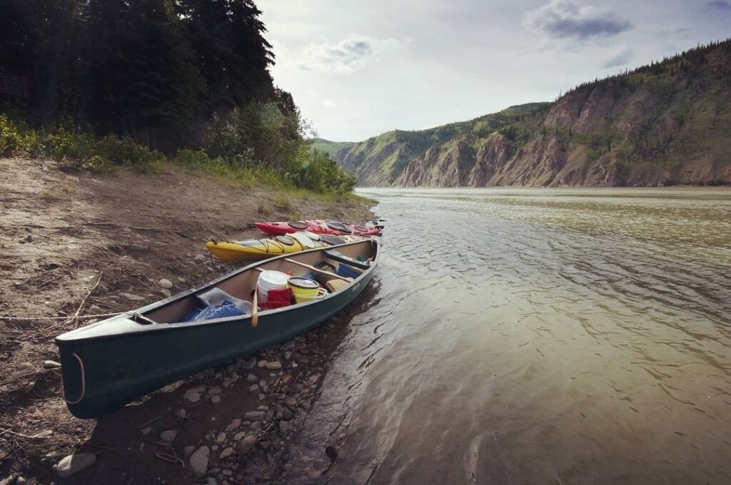
Sitting near the confluence of the Mayo and Stewart Rivers in the middle of beautiful wilderness, Mayo is a hub for fly-in fishing, rafting excursions and other exciting outdoor adventures. Highway travellers find plenty of interesting ways to spend their time in town as well.

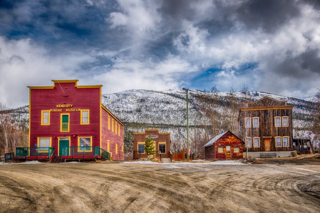
The Binet House Museum displays exhibits on the area’s history, intriguing artifacts, and a 3-D map of the surrounding landscape. Explore the heritage of the Na-Cho Nyäk Dun, who have lived in the area for countless generations and whose Traditional Territory you’ll be standing upon.

Stroll the riverfront along the Prince of Wales Trail, part of the Trans Canada Trail that reaches across the country. Pause at the viewing deck built at the site where riverboats once loaded Silver Trail ore. Today the river is a dream destination for paddlers, and the area is loved by anglers who like feisty fish. Off the water, visitors take to the area’s nature trails to spot wildflowers, northern berries, the occasional aging building—left behind by the mining era—and loads of gorgeous views.

Mayo offers the most visitors services along the Silver Trail. Along with the essentials like gas, laundry, campgrounds and accommodations, there’s also restaurants, a post office, a heated outdoor pool, a grocery store and more.

Carmacks

At its prime position where the Yukon and Nordenskiold Rivers meet, the Carmacks area has been an important spot on the map for countless centuries.

The local Northern Tutchone people depended on it for resources, and traded with other First Nations travelling the river. It’s kept its critical role, first as a stop between Whitehorse and Dawson on the Overland Trail built in 1902, and then on the present North Klondike Highway.

Carmacks remains popular with both river and highway travellers. It’s a great spot where boats can launch for the trip to Dawson City or for fishing right near Carmacks. For paddlers taking the longer voyage from Whitehorse, Carmacks is about the halfway mark and a good spot to replenish supplies.

Whether arriving by river or highway, visitors find many ways to spend their time here. The boardwalk by the water has interpretive signs on the area’s interesting history and culture. Just north of the Yukon River bridge, the Tagé Cho Hudän Interpretive Centre has fascinating artifacts and examples of the local First Nation heritage, including a dugout canoe and a moose skin boat.

Take the short drive up the North Klondike toward Dawson City to view the infamous Five Finger Rapids. This spot on the river posed a significant obstacle for gold seekers. But for you, it’s just one more beautiful stop on your Yukon adventure.

How Can We Help?

  • North America Travel Service
  • The Kennedy Building,
    48 Victoria Road,
    Leeds, LS11 5AF
  • GET DIRECTIONS
Join our newsletter

Get updates on the latest offers, news, events and more.